Â
Â
Â
Â
Â
The Pronav GPS 100 was the very first GPS-unit built by Garmin. ProNav was the company name in the beginning. There were problems with the rights of the name and the founders wanted to produce GPS-units not only for professional users. So "ProNav" what sounded like "Professional navigation" was changed to "Garmin". The names of the founders were used to form this trademark: Gary Burrell and Min H. Kao. This explains why there are Pronav GPS 100 and Garmin GPS 100 units.
The GPS 100 was meant to be an universal navigation unit. There are examples for marine and avionic purposes described in the manual. The GPS 100 is a very basic navigational aid. It processes and displays data that has to be interpreted by the user. The unit could be used for fixed and portable use. A gimbal mount for marine use and a rack for avionic use were available. But there was a carrying case available too, although this is not really a handheld unit. A NiCad battery pack or a battery case could be used for portable operation.
The GPS 100 has a text display, the only graphical element is a CDI-scale on the navigation screen. 250 waypoints and 10 routes could be stored in the memory. The GPS 100 can be customized by the user by choosing several distance and speed units. 16 map datums are available.
The unit can display the sunrise and sunset at a given position. 9 proximity waypoints can be stored in the memory. The GPS 100 warns the user if a defined alarm circle around these waypoints is crossed.
Special avionic features are included. The total air speed, effect of the wind or vertical navigation can be computed. The GPS 100 has a data output that could be used for external plotters or an auto pilot.
The satellite receiver is a single channel multiplexer called "MultiTrac".
______________________________________________________________________________________
Initialization:
The GPS 100 forces the input of date / time and an initial position. Then the unit searches for a satellite for loading the almanac. When satellites appear to be in the orbit the GPS 100 tracks them and computes a position.
Features:
250 waypoints
10 routes
9 proximity waypoints
Nearest waypoints search
Sunrise / sunset calculation
Waypoint projection
Distance / bearing between two waypoints
Simulator for home training
Fuel calculation
Aviation calculations
2 timers
Anchor watch alarm
Data in and output
16 map datums
Detachable quadrifilar antenna
External antenna connector
Alarm beeper
Dimensions: 159mm x 100mm x 51mm
_____________________________________________________________________________________________

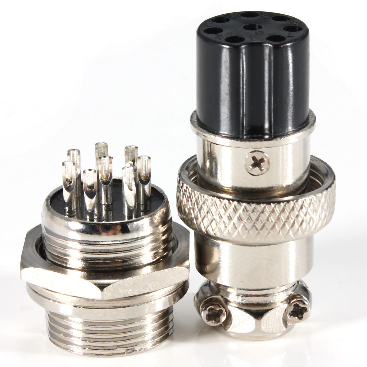
Antenna inner GPS BNC-B plug Garmin Cable len 5m magnet 15mA
Manufacturer 4CARMEDIA
Car Audio accessories type antenna
Kind of antenna inner
Frequency range GPS
Connector type BNC-B
Connector plug
Application - navigation Garmin GPS 100, Garmin GPS 100STD, Garmin GPS 120, Garmin GPS 120XL, Garmin GPS 125 Sounder, Garmin GPS 135, Garmin GPS 15, Garmin GPS 15H, Garmin GPS 15L, Garmin GPS 205, Garmin GPS 45, Garmin GPS 45XL, Garmin GPS 48, Garmin GPS 50, Garmin GPS 65, Garmin GPS 75, Garmin GPS 89, Garmin GPS 90, Garmin GPS 92, Garmin GPS 95XL, Garmin GPS II, Garmin GPS II+, Garmin GPS III, Garmin GPS III Pilot, Garmin GPS III+, Garmin GPS V, Garmin GPSCOM 170, Garmin GPSMAP 130, Garmin GPSMAP 135 Sounder, Garmin GPSMAP 152, Garmin GPSMAP 162, Garmin GPSMAP 168 Sounder, Garmin GPSMAP 172, Garmin GPSMAP 172C, Garmin GPSMAP 176, Garmin GPSMAP 176C, Garmin GPSMAP 178, Garmin GPSMAP 178C Sounder, Garmin GPSMAP 180, Garmin GPSMAP 182, Garmin GPSMAP 182C, Garmin GPSMAP 185 Sounder, Garmin GPSMAP 188 Sounder, Garmin GPSMAP 188C Sounder, Garmin GPSMAP 192C, Garmin GPSMAP 196, Garmin GPSMAP 200, Garmin GPSMAP 210, Garmin GPSMAP 215, Garmin GPSMAP 220, Garmin GPSMAP 225, Garmin GPSMAP 230, Garmin GPSMAP 232, Garmin GPSMAP 235 Sounder, Garmin GPSMAP 238, Garmin GPSMAP 276C, Garmin GPSMAP 295, Garmin GPSMAP 296, Garmin NavTalk Pilot, Garmin Pilot 3 Luftfahrt, Garmin StreetPilot GPS, Garmin StreetPilot GPS ColorMap, Garmin StreetPilot III Deluxe, Garmin StreetPilot III GPS
Application - navigation brand Garmin
Cable length 5m
Antenna fixing magnet
Supply voltage 2.4...5V DC
GPS band gain 28dBi
Dimensions 48 x 39 x 14mm
Rated current 15mA
Wire series
Old nameNew nameCable screeningPair shielding
UTPU/UTPnonenone
STPU/FTPnonefoil
FTPF/UTPfoilnone
SSTPS/FTPbraidingfoil
S-FTPSF/UTPbraiding, foilnone
RG174
Description Power is supplied to GPS antenna via antenna socket in navigation
Additional information
Gross weight 0.12 kg
Â
Â
The Pronav GPS 100 was the very first GPS-unit built by Garmin. ProNav was the company name in the beginning. There were problems with the rights of the name and the founders wanted to produce GPS-units not only for professional users. So "ProNav" what sounded like "Professional navigation" was changed to "Garmin". The names of the founders were used to form this trademark: Gary Burrell and Min H. Kao. This explains why there are Pronav GPS 100 and Garmin GPS 100 units.
The GPS 100 was meant to be an universal navigation unit. There are examples for marine and avionic purposes described in the manual. The GPS 100 is a very basic navigational aid. It processes and displays data that has to be interpreted by the user. The unit could be used for fixed and portable use. A gimbal mount for marine use and a rack for avionic use were available. But there was a carrying case available too, although this is not really a handheld unit. A NiCad battery pack or a battery case could be used for portable operation.
The GPS 100 has a text display, the only graphical element is a CDI-scale on the navigation screen. 250 waypoints and 10 routes could be stored in the memory. The GPS 100 can be customized by the user by choosing several distance and speed units. 16 map datums are available.
The unit can display the sunrise and sunset at a given position. 9 proximity waypoints can be stored in the memory. The GPS 100 warns the user if a defined alarm circle around these waypoints is crossed.
Special avionic features are included. The total air speed, effect of the wind or vertical navigation can be computed. The GPS 100 has a data output that could be used for external plotters or an auto pilot.
The satellite receiver is a single channel multiplexer called "MultiTrac".
Initialization:
The GPS 100 forces the input of date / time and an initial position. Then the unit searches for a satellite for loading the almanac. When satellites appear to be in the orbit the GPS 100 tracks them and computes a position.
Features:
250 waypoints
10 routes
9 proximity waypoints
Nearest waypoints search
Sunrise / sunset calculation
Waypoint projection
Distance / bearing between two waypoints
Simulator for home training
Fuel calculation
Aviation calculations
2 timers
Anchor watch alarm
Data in and output
16 map datums
Detachable quadrifilar antenna
External antenna connector
Alarm beeper
Dimensions: 159mm x 100mm x 51mm